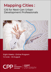
- 14 Jun 2026 to 02 Aug 2026
- Eight weeks
- Online
- Certificate from CEPT University
- INR 25000 + GST
An early bird discount of INR 5000/- on the abovementioned fee is available till 24 May 2026.
CEPT Alumni discount of INR 5000/- is available on the above-mentioned fee. - This professional program is designed specifically for urban planners, urban managers, policymakers, municipal engineers, researchers, academicians and professionals working in the urban development sector.
About
In today’s rapidly urbanizing world, informed decision-making is key to effective planning. Geospatial technology—comprising tools like Geographic Information Systems (GIS), Remote Sensing, Global Positioning System (GPS), Light Detection and Ranging (LiDAR), photogrammetry, and UAVs (drones)—is transforming how cities are designed, managed, and sustained. Mapping Cities: GIS for Urban Development Professionals is a course designed to equip professionals with the analytical and technical skills needed to understand, interpret, and shape future cities by using the right tools. This professional program is designed specifically for urban development professionals such as urban planners, urban managers, policymakers, researchers, academicians, and others working in the urban development sector.
The course offers practical, hands-on training in using geospatial tools to collect, visualize, and analyze spatial data. Participants will learn to create insightful maps, process geographic datasets, and apply spatial analysis techniques that directly inform planning and policy decisions. Join this program to gain industry-relevant skills and practical knowledge that can immediately enhance your strategic planning abilities and professional impact. Whether you’re new to GIS or looking to refine your expertise, this program offers a practical and insightful approach to leveraging GIS for sustainable and efficient urban development.
Program Faculty

Dr. Shivangi Somvanshi
GeoAI Application
Principal Researcher, CRDF CEPT
Manushi Bhatt
Urban GIS
Assistant Professor, CEPT UniversityGuest Speakers
Dr. Shiv Mohan
Remote sensing
Former ISRO Scientist & Visiting Faculty, CEPT
Dr. Anjana Vyas
Remote sensing, Geomatics, Urban Planner
Former Dean, FGSA and Former Executive Director, CAG, CRDFProgram Structure
EIGHT WEEKS LIVE ONLINE PROGRAM
-
Module 01: Fundamentals of GIS and Remote Sensing
The first module will introduce the participants with an introduction to geospatial technologies. They will learn the foundational concepts of remote sensing and GIS and explore the possible applications of the same in various fields. Practical sessions cover navigating GIS interfaces, adding and exploring various data formats, and leveraging open geospatial data sources. Participants will also gain hands-on experience in data creation, including digitization, metadata generation, georeferencing, and data conversion.
-
Module 02: Spatial Data Processing & Vector Analysis
This module focuses on the processing and analysis of vector spatial data, a critical skill for urban planners. Participants will learn to perform attribute and spatial queries, as well as geoprocessing operations such as buffering, clipping, merging, and dissolving. Handson sessions will help participants in cleaning data, converting it, modifying it and processing it. By the end of this module, participants will be able to conduct vector-based analyses, generate meaningful insights from urban spatial data, and apply GIS tools to real-world planning challenges.
-
Module 03: Remote Sensing & Elevation Data for Urban Planning
This module introduces remote sensing principles and elevation data analysis for urban applications. Participants will learn to interpret satellite imagery, download and process datasets, and perform image classification. The module also covers digital elevation models (DEMs), including contour generation and watershed delineation. Hands-on exercises enable participants to integrate satellite and elevation data into urban planning analyses. By the end of this module, participants will be capable of leveraging remote sensing and DEM data to analyze urban landscapes, support evidence-based planning, and produce visually compelling maps to communicate spatial information effectively.
-
Module 04: Applied GIS in Urban Development
This module will demonstrate the application of various geospatial technologies in different sectors of urban planning and management. Expert sessions and case studies will be delivered to demonstrate how GIS is being used in making Master Plans, smart city initiatives, property taxation, land management, sustainable planning practices and much more. New technologies like UAV/ Drones and LiDAR will also be discussed during this module so that the participants can gain insights about the emerging trends in geospatial technology.
Applications and Admissions
This professional program is designed specifically for urban planners, urban managers, policymakers, municipal engineers, researchers, academicians and professionals working in the urban development sector.
The program deadline is tentative, and applications will be reviewed on a rolling basis. Seats are allocated on a first-come, first-served basis, and admissions will close once all seats are filled.
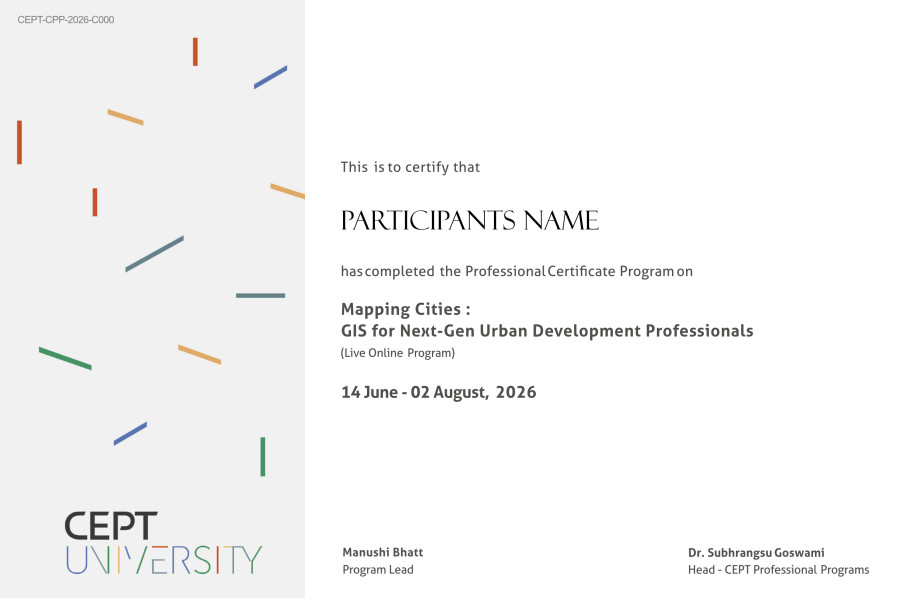
Participants will receive a certificate from CEPT University, on successful completion of the program with a minimum of 80 per cent attendance.
Sample Certificate