A PHP Error was encountered
Severity: Notice
Message: Trying to get property 'open_for_application' of non-object
Filename: programs/detailsold.php
Line Number: 18
Backtrace:
File: /var/www/html/cpp/application/views/programs/detailsold.php
Line: 18
Function: _error_handler
File: /var/www/html/cpp/application/controllers/Program.php
Line: 71
Function: view
File: /var/www/html/cpp/index.php
Line: 315
Function: require_once
A PHP Error was encountered
Severity: Notice
Message: Trying to get property 'id' of non-object
Filename: programs/detailsold.php
Line Number: 20
Backtrace:
File: /var/www/html/cpp/application/views/programs/detailsold.php
Line: 20
Function: _error_handler
File: /var/www/html/cpp/application/controllers/Program.php
Line: 71
Function: view
File: /var/www/html/cpp/index.php
Line: 315
Function: require_once
A PHP Error was encountered
Severity: Notice
Message: Trying to get property 'image_main' of non-object
Filename: programs/detailsold.php
Line Number: 22
Backtrace:
File: /var/www/html/cpp/application/views/programs/detailsold.php
Line: 22
Function: _error_handler
File: /var/www/html/cpp/application/controllers/Program.php
Line: 71
Function: view
File: /var/www/html/cpp/index.php
Line: 315
Function: require_once

- To Be Announced
-
A PHP Error was encountered
Severity: Notice
Message: Trying to get property 'duration' of non-object
Filename: programs/detailsold.php
Line Number: 46
Backtrace:
File: /var/www/html/cpp/application/views/programs/detailsold.php
Line: 46
Function: _error_handlerFile: /var/www/html/cpp/application/controllers/Program.php
Line: 71
Function: viewFile: /var/www/html/cpp/index.php
Line: 315
Function: require_once -
A PHP Error was encountered
Severity: Notice
Message: Trying to get property 'title' of non-object
Filename: programs/detailsold.php
Line Number: 47
Backtrace:
File: /var/www/html/cpp/application/views/programs/detailsold.php
Line: 47
Function: _error_handlerFile: /var/www/html/cpp/application/controllers/Program.php
Line: 71
Function: viewFile: /var/www/html/cpp/index.php
Line: 315
Function: require_once -
A PHP Error was encountered
Severity: Notice
Message: Trying to get property 'course_detail' of non-object
Filename: programs/detailsold.php
Line Number: 48
Backtrace:
File: /var/www/html/cpp/application/views/programs/detailsold.php
Line: 48
Function: _error_handlerFile: /var/www/html/cpp/application/controllers/Program.php
Line: 71
Function: viewFile: /var/www/html/cpp/index.php
Line: 315
Function: require_once -
-
A PHP Error was encountered
Severity: Notice
Message: Trying to get property 'course_fee' of non-object
Filename: programs/detailsold.php
Line Number: 50
Backtrace:
File: /var/www/html/cpp/application/views/programs/detailsold.php
Line: 50
Function: _error_handlerFile: /var/www/html/cpp/application/controllers/Program.php
Line: 71
Function: viewFile: /var/www/html/cpp/index.php
Line: 315
Function: require_once -
A PHP Error was encountered
Severity: Notice
Message: Trying to get property 'criteria' of non-object
Filename: programs/detailsold.php
Line Number: 113
Backtrace:
File: /var/www/html/cpp/application/views/programs/detailsold.php
Line: 113
Function: _error_handlerFile: /var/www/html/cpp/application/controllers/Program.php
Line: 71
Function: viewFile: /var/www/html/cpp/index.php
Line: 315
Function: require_once
About
A PHP Error was encountered
Severity: Notice
Message: Trying to get property 'description_long' of non-object
Filename: programs/detailsold.php
Line Number: 125
Backtrace:
File: /var/www/html/cpp/application/views/programs/detailsold.php
Line: 125
Function: _error_handler
File: /var/www/html/cpp/application/controllers/Program.php
Line: 71
Function: view
File: /var/www/html/cpp/index.php
Line: 315
Function: require_once
A PHP Error was encountered
Severity: Notice
Message: Trying to get property 'youtube_id' of non-object
Filename: programs/detailsold.php
Line Number: 133
Backtrace:
File: /var/www/html/cpp/application/views/programs/detailsold.php
Line: 133
Function: _error_handler
File: /var/www/html/cpp/application/controllers/Program.php
Line: 71
Function: view
File: /var/www/html/cpp/index.php
Line: 315
Function: require_once
A PHP Error was encountered
Severity: Notice
Message: Trying to get property 'pdf_path' of non-object
Filename: programs/detailsold.php
Line Number: 144
Backtrace:
File: /var/www/html/cpp/application/views/programs/detailsold.php
Line: 144
Function: _error_handler
File: /var/www/html/cpp/application/controllers/Program.php
Line: 71
Function: view
File: /var/www/html/cpp/index.php
Line: 315
Function: require_once
Program Structure
A PHP Error was encountered
Severity: Notice
Message: Trying to get property 'description_structure_module' of non-object
Filename: programs/detailsold.php
Line Number: 304
Backtrace:
File: /var/www/html/cpp/application/views/programs/detailsold.php
Line: 304
Function: _error_handler
File: /var/www/html/cpp/application/controllers/Program.php
Line: 71
Function: view
File: /var/www/html/cpp/index.php
Line: 315
Function: require_once
Applications and Admissions
A PHP Error was encountered
Severity: Notice
Message: Trying to get property 'application_requirement' of non-object
Filename: programs/detailsold.php
Line Number: 456
Backtrace:
File: /var/www/html/cpp/application/views/programs/detailsold.php
Line: 456
Function: _error_handler
File: /var/www/html/cpp/application/controllers/Program.php
Line: 71
Function: view
File: /var/www/html/cpp/index.php
Line: 315
Function: require_once
A PHP Error was encountered
Severity: Notice
Message: Trying to get property 'open_for_application' of non-object
Filename: programs/detailsold.php
Line Number: 460
Backtrace:
File: /var/www/html/cpp/application/views/programs/detailsold.php
Line: 460
Function: _error_handler
File: /var/www/html/cpp/application/controllers/Program.php
Line: 71
Function: view
File: /var/www/html/cpp/index.php
Line: 315
Function: require_once
A PHP Error was encountered
Severity: Notice
Message: Trying to get property 'deadline_apply_date' of non-object
Filename: programs/detailsold.php
Line Number: 463
Backtrace:
File: /var/www/html/cpp/application/views/programs/detailsold.php
Line: 463
Function: _error_handler
File: /var/www/html/cpp/application/controllers/Program.php
Line: 71
Function: view
File: /var/www/html/cpp/index.php
Line: 315
Function: require_once
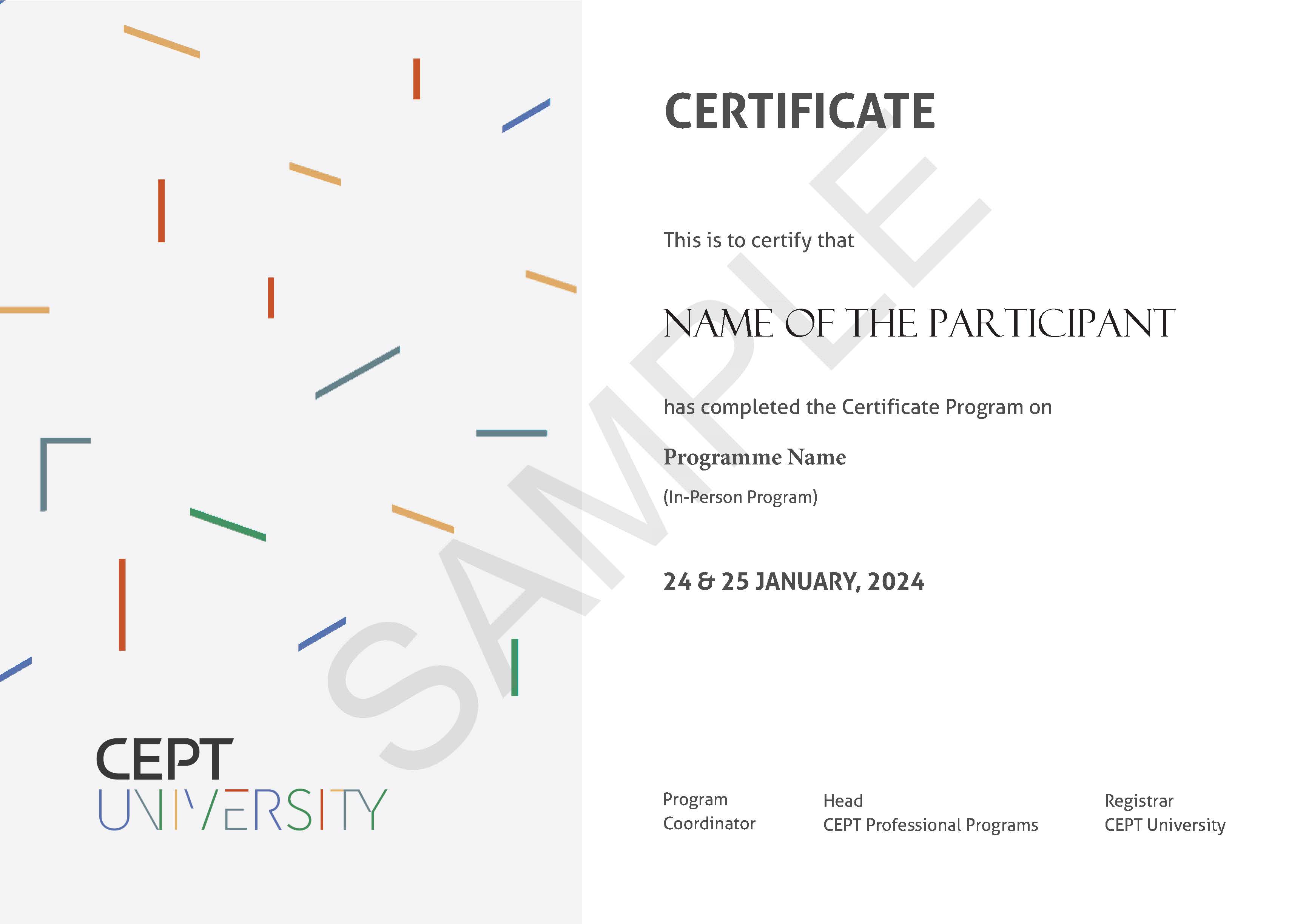
Sample Certificate
A PHP Error was encountered
Severity: Notice
Message: Trying to get property 'image_cert' of non-object
Filename: programs/detailsold.php
Line Number: 507
Backtrace:
File: /var/www/html/cpp/application/views/programs/detailsold.php
Line: 507
Function: _error_handler
File: /var/www/html/cpp/application/controllers/Program.php
Line: 71
Function: view
File: /var/www/html/cpp/index.php
Line: 315
Function: require_once