- 03 Jun 2023 to 24 Jun 2023
- 30 hours | 8 Days | 4 Weeks
- Blended (online + on-campus)
- Certificate of Completion
- INR 25000 + GST
- Open for Professionals, Researchers, Teachers and Students from Planning, Architecture, Geography, Engineering or any other field allied to built-environment and environmental studies.
About
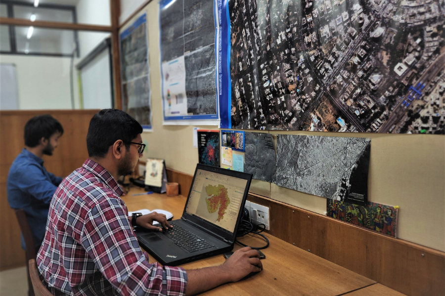
Knowledge of Geographic Information System (GIS) is an increasingly sought after skill in all the industries. GIS integrates different types of data such as maps, satellite images and survey data, allowing users to analyze and understand complex relationships between spatially distributed features. GIS can be useful in the implementation and monitoring of programs such as Smart Cities Mission, Atal Mission for Rejuvenation and Urban Transformation (AMRUT), Swachh Bharat, Clean Ganga Mission, etc. The proposed program provides basic understanding about GIS Technology. This program is developed and curated by Center for Applied Geomatics, CRDF in consultation with CEPT Professional Programs, CEPT University.
Program Faculty

Dr. Shiv Mohan
Remote sensing
Former ISRO Scientist & Visiting Faculty, CEPT
Dr. Shaily Gandhi
Geoinformatics, GIS, Data Science Expert
Deputy Center Head, CAG, CRDF and Program Chair, Geomatics, CEPT University
Dr. Anjana Vyas
Remote sensing, Geomatics, Urban Planner
Former Dean, FGSA and Former Executive Director, CAG, CRDFProgram Structure
The program has a structure that comprises five thematic modules, which will cover specific topics aimed at facilitating an understanding of the fundamentals of GIS. Participants will also learn about spatial adjustments and geoprocessing tools, spatial analysis and mapping. First three modules will have two online lectures and hands-on exercise and last two modules will have one offline lectures and hands-on exercise.
-
Module 1: Introduction to Geomatics, Geospatial Policy and Coordinate System
In the opening module of the program, participants will receive an introduction to Geomatics. The session will feature a lecture by Dr. Anjana Vyas, who will discuss the benefits of India's geospatial policy and its scope. Furthermore, a brief overview of data types, base maps and coordinate systems will be provided.
-
Module 2: Introduction to GIS Software and Fundamental Concept
The primary objective of this module is to provide hands-on experience using GIS software, followed by a comprehensive understanding of fundamentals GIS concepts such as data handling, conversion and geodatabase creation, as well as their practical applications.
-
Module 3: Introduction to Spatial Adjustment Tools, Geoprocessing Tools and Remote Sensing
This module aims to provide a concise understanding of spatial adjustment tools and geoprocessing tools, including their practical applications. Additionally, the later part of this module will cover the basic principles and elements of remote sensing.
-
Module 4: Working with Spatial and Non-Spatial data
This module provides a comprehensive understanding of raster post-processing and visualization techniques, as well as practical applications for working with spatial queries, joining and relating spatial and non-spatial data. In addition, the importance of metadata in GIS is also covered to ensure participants have a well-rounded understanding of GIS concepts and applications.
-
Module 5: Spatial Analysis and Mapping
Spatial analysis and mapping are essential tools for understanding and interpreting geographic data. This module will help participants in better decision making and improved planning.
Hear from Past Learners

Digant Shah
Civil Engineer | From Introduction to Geographic Information System (Batch-1), June 2023
This GIS program has been a wonderful learning experience and I recommend this program to all professionals related to the built environment. It's well-crafted structure is exceptionally beneficial, catering to both experts and beginners facilitating a thorough understanding of GIS processes and applications. The program combined valuable learning on geospatial technology, it's application, remote sensing, creating maps etc. Initially, as someone not particularly tech-savy, I had reservations, but the supportive team provided excellent guidance, especially in mastering the ArcGIS Pro software.
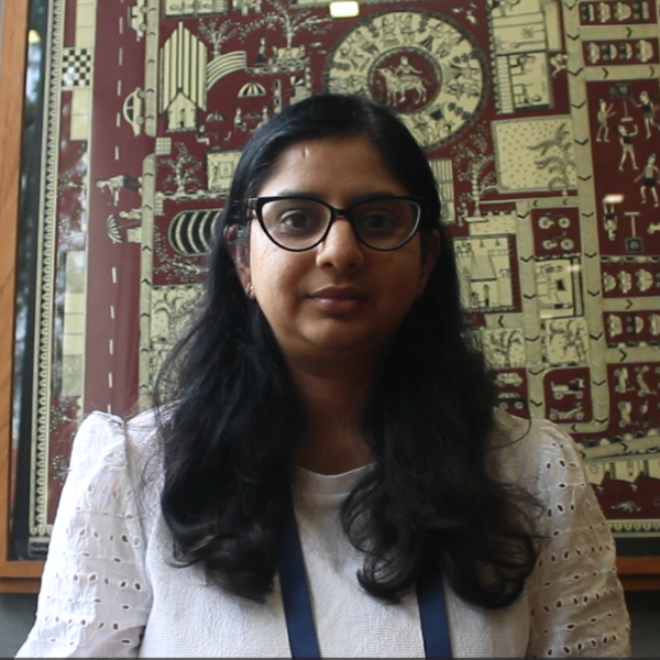
Dr. Vartika Pant
Senior Research Associate at National Innovation Foundation | From Introduction to Geographic Information System (Batch-1), June 2023
The well-designed structure of this program has been exceptionally empowering. We acquired the skills to create maps, identify locations, and grasp the immense potential of GIS. The dedication demonstrated by Dr. Shaily and her team throughout the program was truly remarkable.
Akshaya Ganesan
Architect | From Introduction to Geographic Information System (Batch-1), June 2023
The program combined valuable theory with practical hands-on applications. We delved into various concepts, including geospatial policy, applications, and remote sensing, gaining a comprehensive understanding. Learning ArcGIS Pro software from the basics and mastering the art of extracting maps and developing data was incredibly beneficial.

Jaspreet Singh Sandhu
Architect | From Introduction to Geographic Information System (Batch-1), June 2023
Participating in the GIS program broadened my understanding to the vast potential of GIS and how it enables us to create map layouts and conduct GIS mapping with ease. The Program provided a user friendly approach, making it easy to grasp and apply this new technology.
Applications and Admissions
This program is offered in Blended learning mode and open to Professionals, Researchers, Teachers and Students from Planning, Architecture, Geographers, Engineering or any other field allied to built environment and environmental studies. Participants will receive a certificate from CEPT University on successful completion of the program.
Applications are closed for this program.
Sample Certificate